
Page 70 - NyghtVision Magazine Volume 5 #2
P. 70
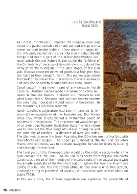
Right: The Canal Museum,
                                                         Roanoke Rapids

            As I drove into Weldon, I crossed the Roanoke River and
            noted the partial remains of an old railroad bridge with a
            newer railroad bridge behind it (see photo on pages 60-
            61). A historic marker in the area informed me that the old
            bridge had been a part of the Wilmington-Weldon Rail-
            road, which General Robert E. Lee called the “Lifeline of
            the Confederacy” because of its vital role in supplying the
            Army of Northern Virginia in the later stages of the Civil
            War. Blockade runners delivered goods to Wilmington that
            the railroad then brought north. The marker also noted
            that Weldon had been the intersection of several railroads
            and was also served by steamboats and canal boats.
            Canal boats? I had never heard of any canals in North
            Carolina. Another marker made me aware of a canal mu-
            seum in Roanoke Rapids. I visited the museum to see
            what I could learn. Because I did not have time to explore
            the area fully, I decided I would return in December. In
            the meantime, I did more research.
            North Carolina’s Legislature had been interested in im-
            proving the navigability of the Roanoke and Dan Rivers
            since 1784, when it established a 10-member board of
            trustees for this purpose. The improvement would be part
            of an ambitious Roanoke Navigation System whose vision
            was to connect the Blue Ridge Mountains of Virginia and
            the port city of Norfolk – a distance of over 400 miles.
            The plan was to serve the lower Roanoke, the 100 miles west of Norfolk, with
            steamboats and barges. The upper part, including the Dan and Staunton
            Rivers, over 300 miles, was to be made navigable for smaller boats by sluicing
            and clearing the river bed.
            The hard part of this three-part plan would be the middle section where the
            river crossed the “fall line.” The fall line runs south from Virginia into North
            Carolina as a result of the meeting of the sandy soils of the coastal plain with
            the granite substrata of the Piedmont region. Where the Roanoke River flows
            across this fall line, the river drops about 85 feet over a nine-mile stretch,

2 creating a string of granite-lined rapids, like those near Weldon (see photo on
            pages 72-73).
            At the same time, the Virginia Legislature was exploring the possibility of

70 | Passion